


Description
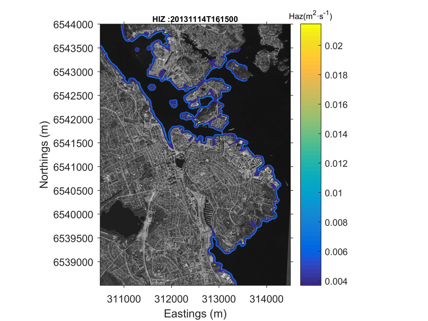
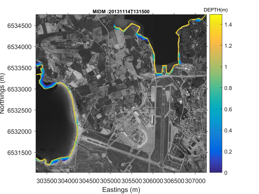
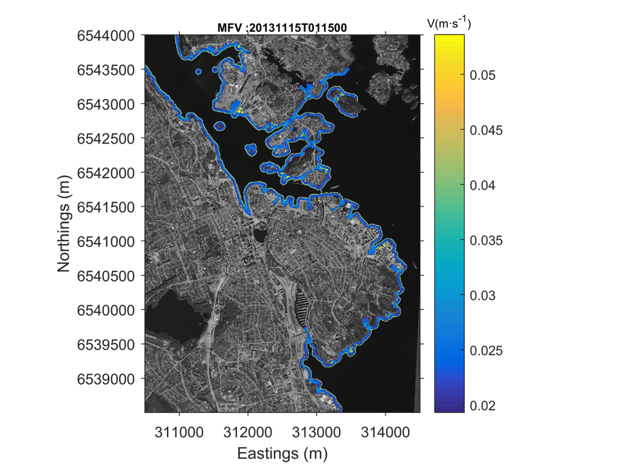
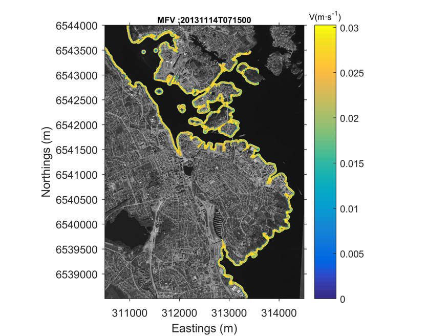
The chain of models is fed with the regional model outputs. The model X-BEACH (Roelvink et al., 2009) reproduces nearshore wave process (e.g. breaking, shoaling), the hydrodynamics related to near-shore wave transformation, as well as the associated morphodynamics. The X-beach output is used as input of the inundation model LISFLOOD-FP. This is a 2-D hydrodynamic model specifically designed to simulate inundation in areas with complex topography (Bates et al., 2005). The local flood-erosion model is applied to evaluate storm surge impact in the Pilot Sites. The model has a spatial resolution of 10 m and time step of 30’ like the regional storm surge model. The model chain provides erosion-accretion information, maximum flow velocity, maximum inundation depth and expected shoreline retreat rate. In a built-up area, the storm surge warning could be presented as the Safe Corridor Width (SCW) indicator.

